Ambergris Caye fills up. Caye Caulker fills up. Even the Blue Hole now has a waiting list of dive boats. But drive two hours west from Belize City into the Cayo District and something shifts. The crowds disappear, the jungle thickens, and the experiences get real. Cayo is where Belize still belongs to Belizeans.
These five spots aren't in most guidebooks. You won't see them hashtagged a thousand times. What you will find: sinkholes, waterfalls with no ticket booth, and a cave system so dark and still it sounds like the Maya never left.
Key Takeaways
- Belize welcomed a record 562,405 overnight visitors in 2024, yet the vast majority concentrated on the cayes, leaving inland Cayo dramatically uncrowded.
- All five spots are within 90 minutes of San Ignacio, doable as day trips with a rental car or a local guide who knows the back roads.
- The Santa Familia sinkhole is a dry, deep limestone collapse with its own interior ecosystem of tall trees. As far as locals we spoke with know, no full rope descent to the bottom has been documented yet.
- Mountain Pine Ridge access has improved significantly, with paved or mostly paved roads toward Big Rock Falls. Rio On Pools can still have gravel, uneven, or weather-affected sections, so a high-clearance vehicle is still recommended after rain.
1. Santa Familia Sinkhole: Cayo's Hidden Limestone Collapse
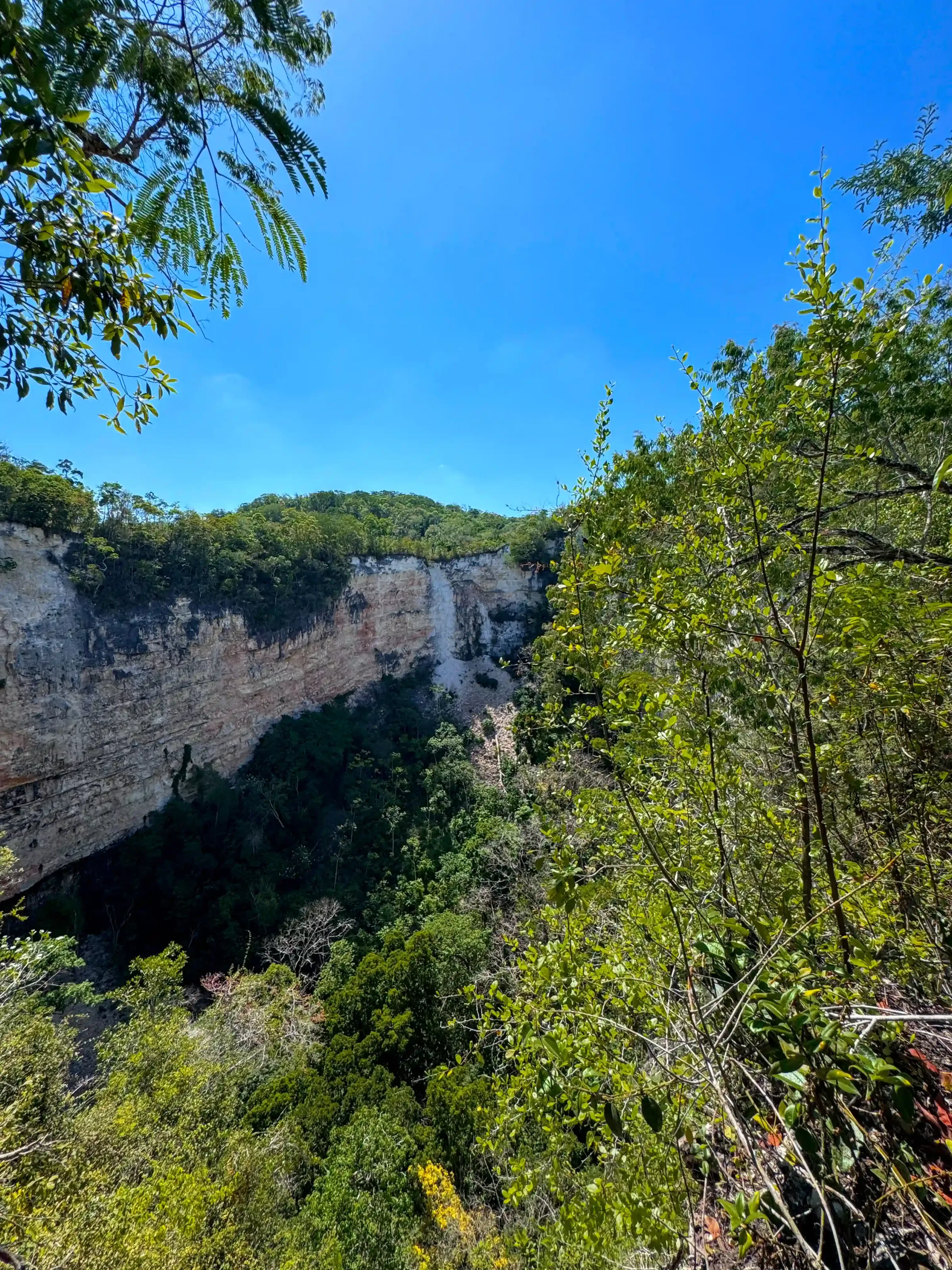
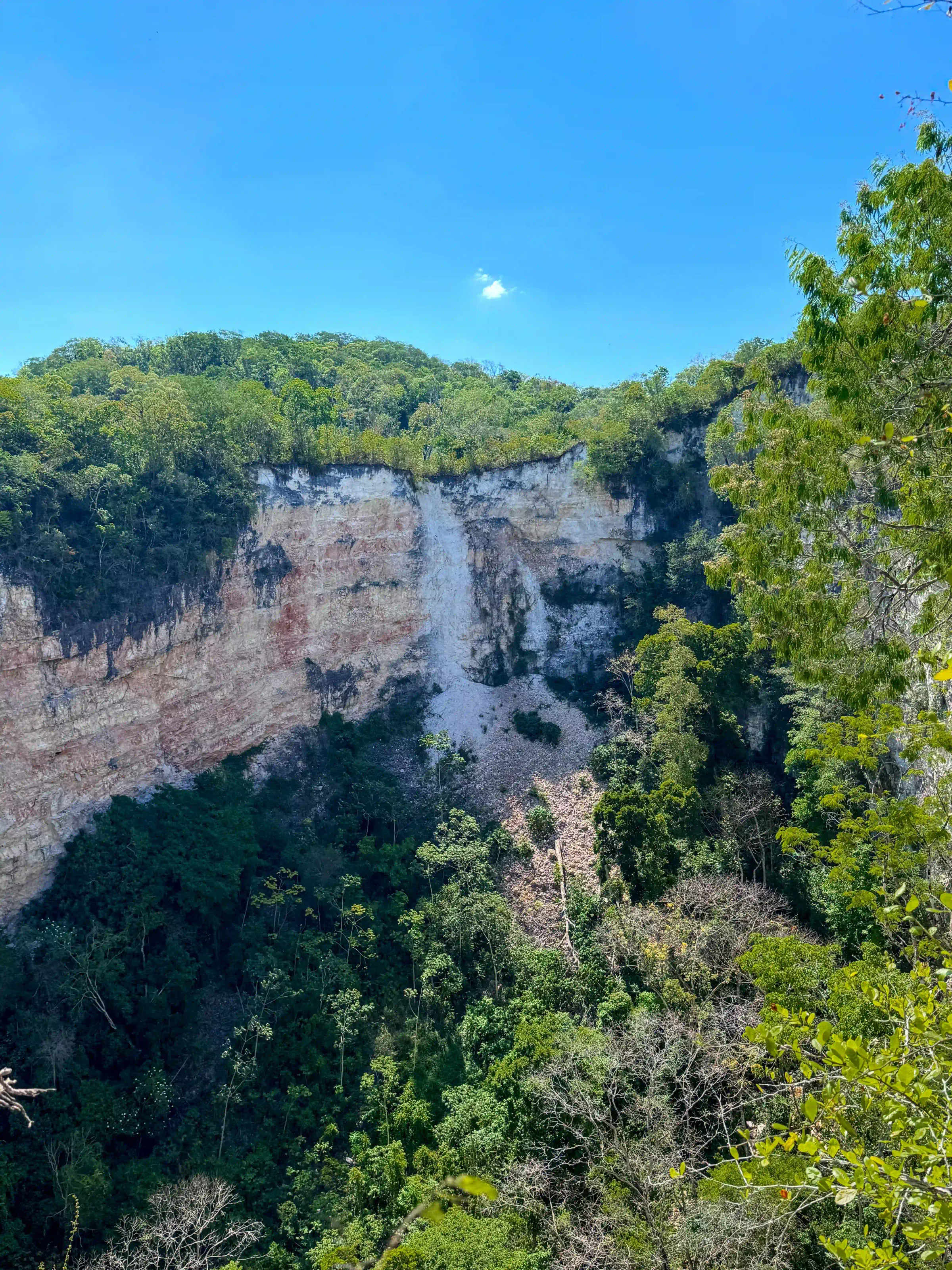
Most people hear "sinkhole" and picture water. The Santa Familia sinkhole near the village of Santa Familia, just off the Western Highway between Belmopan and San Ignacio, is something entirely different, and stranger. This is a dry, deep limestone collapse with sheer walls and, growing up from the bottom, a canopy of tall trees that have been reaching skyward for years. You stand at the rim and look down into a world that's sealed itself off from everything around it.
No one has rappelled to the bottom yet. As far as locals know, the interior remains untouched, no systematic survey, no rope descent, no documentation of what's actually down there beyond what you can see from above. The trees growing inside are taller than they'd be in open jungle, drawn upward by the only light available, which comes through the opening directly above. It's its own microclimate. Its own ecosystem. A pocket of Belize that exists on its own terms.
Standing at the edge and looking down is genuinely disorienting, the kind of place that makes you realize how much of this country is still just there, unreached, uncatalogued. If you're scared of heights, it'll hit you harder than you expect. Seeing it in person makes you understand the scale in a way photos simply can't convey.
We found both sinkholes on Google Earth, that's how hidden they are. No trail app, no guidebook entry, just satellite imagery and curiosity. There are actually two sinkholes in the area. We went in on ATVs; the road cuts straight through jungle and you'd need a 4x4 at minimum. Along the route you can see where rainwater has carved its own channels across the track.
The trail to the sinkholes isn't maintained. It doesn't look like many people have been through recently. We initially followed what we thought was the path. It turned out to be a water runoff channel, and we ended up hacking our own route through with machetes for close to an hour before we realized our mistake. We were aiming for the smaller sinkhole (C2) and had been following the trail toward C1 (Pancho Rojas - Sinkholes) the whole time, badly. Eventually we found C1, stood at the rim, and forgot we were tired. Then we walked around the edge and found a proper path on the other side that reached our ATVs in ten minutes. We could have saved ourselves an hour, but honestly, we were too floored to be annoyed.
One thing nobody mentions: the sinkhole makes a sound. A low, distant hum, wind moving through the interior below. It makes sense once you think about it. The depth creates its own airflow. But standing there hearing it for the first time, before you understand what you're hearing, it adds something to the experience.
View Santa Familia C2 Sinkhole on Google Maps
Video footage of the Santa Familia Sinkhole in Cayo, Belize.
Note: We at Belize Travel Insider will go explore C1 (Pancho Rojas - Sinkholes) and keep you posted.
2. Monkey Falls, Cristo Rey: A Waterfall the Tour Buses Miss
Monkey Falls is ten minutes from San Ignacio town. Ten minutes. And most visitors to the Cayo District never go. That's either baffling or a gift, depending on how you look at it. The drive down Cristo Rey Road is already worth the trip: Maya villages, cacao farms, wooden houses wrapped in flowering vines. But it's the hike in that sets the tone. The trail is short and the mud is serious. Not "a little damp" mud. The kind where what looks solid is actually just a thin crust floating over water, and your leg can disappear through it without warning. Watch your footing on the logs crossing the wet sections too. The limestone under the water acts as a natural bridge in spots, but it's slippery in a way that sneaks up on you.
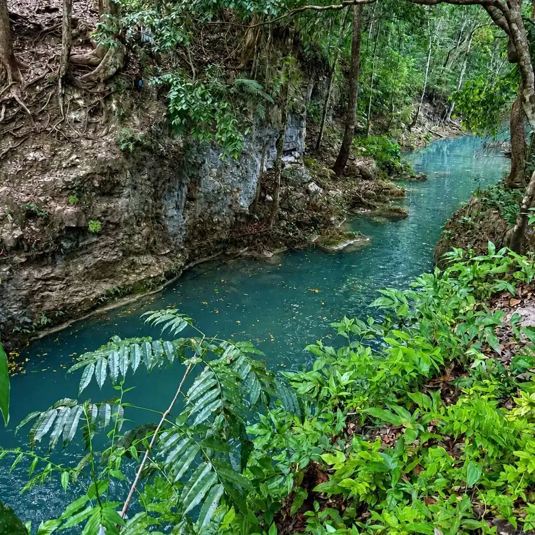
When you get there, the water is warmer than you expect, surprisingly so, even in the shade. It pools blue-green at the base of the falls, though the color shifts with rain and runoff, ranging from emerald to a lighter teal depending on the season. The falls drop in a steady curtain rather than a roar. Behind that curtain there's a small hollow in the rock, tight enough that you have to crawl in. Your guide will probably encourage you to do it. It's a little unnerving not knowing what's behind you in the dark, but once you're in and the water's falling past the opening, it's one of those moments that's hard to explain after.
What makes Monkey Falls work for everyone is that it offers two completely different experiences in the same spot. The main pool below is deep enough for cliff jumps. There's a ledge above where people throw flips. But climb up above the falls and there's a separate shallow pool of calm clear water right at the top, barely knee-deep, where you can just sit and do nothing. You don't have to be the cliff-jumping type. Both are there, and both are good.
Don't count on the howler monkeys. You'll likely hear them in the trees, they're loud enough to feel, but they run on their own schedule. If they show, it's a bonus. If they don't, the falls are still worth every muddy step.
Monkey Falls has no operator. No ticket. It's genuinely local in a way that ATM Cave and the Blue Hole, for all their magnificence, simply aren't anymore. It's a budget afternoon that most people leave regretting they didn't stay longer.
Getting to Monkey Falls
Cross the Hawksworth Bridge from San Ignacio into Santa Elena and take Cristo Rey Road south. The pull-off is roughly 4 miles down, unmarked. Ask at your hostel or guesthouse in San Ignacio, locals know it. Wear shoes you're prepared to sacrifice to the mud. Bring water, a snack, and a dry bag for your phone. Budget a few hours at minimum.
View Monkey Falls on Google Maps
Video footage of Monkey Falls in Cayo, Belize.
3. Big Rock Falls: The Mountain Pine Ridge Waterfall
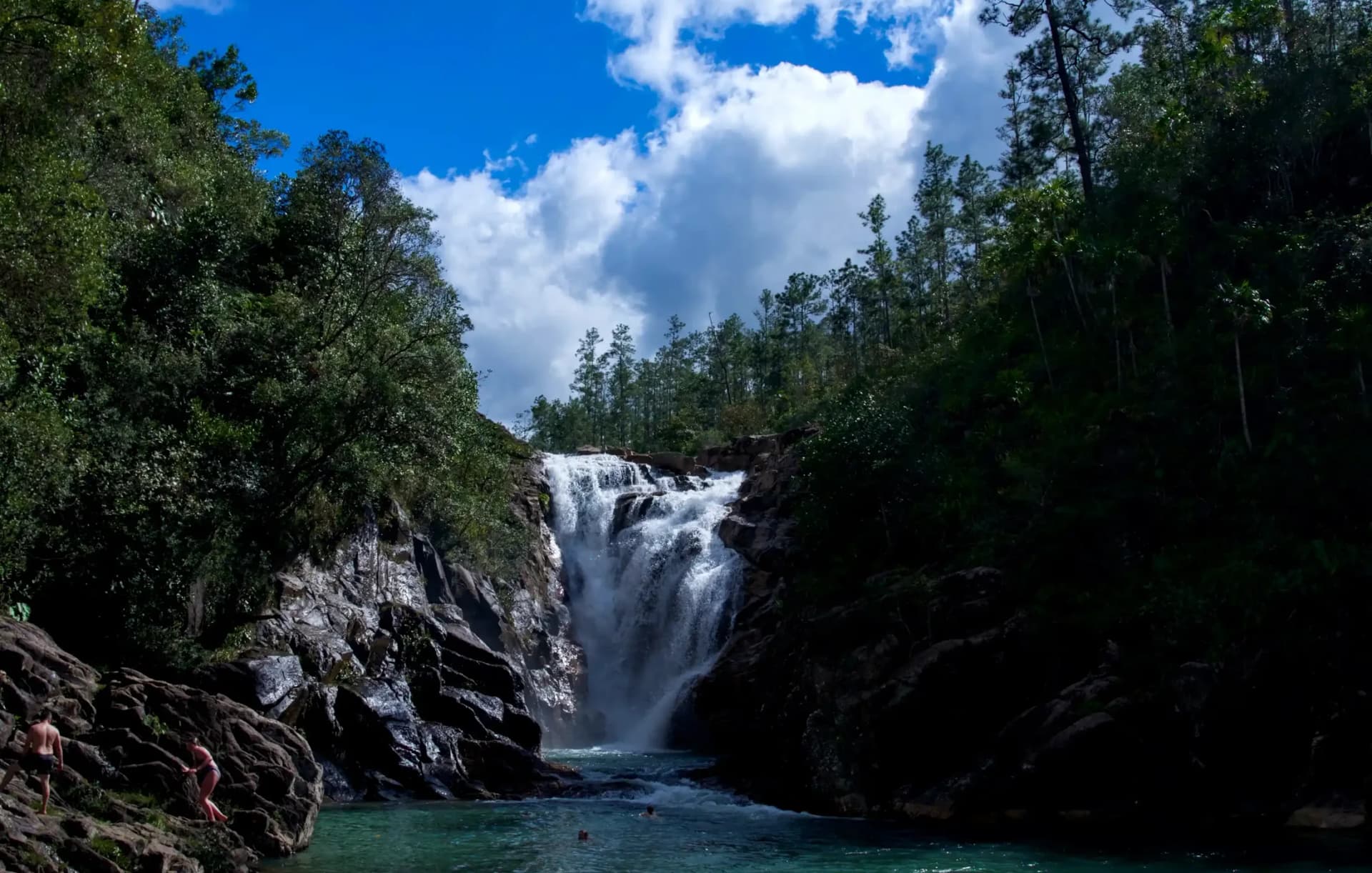
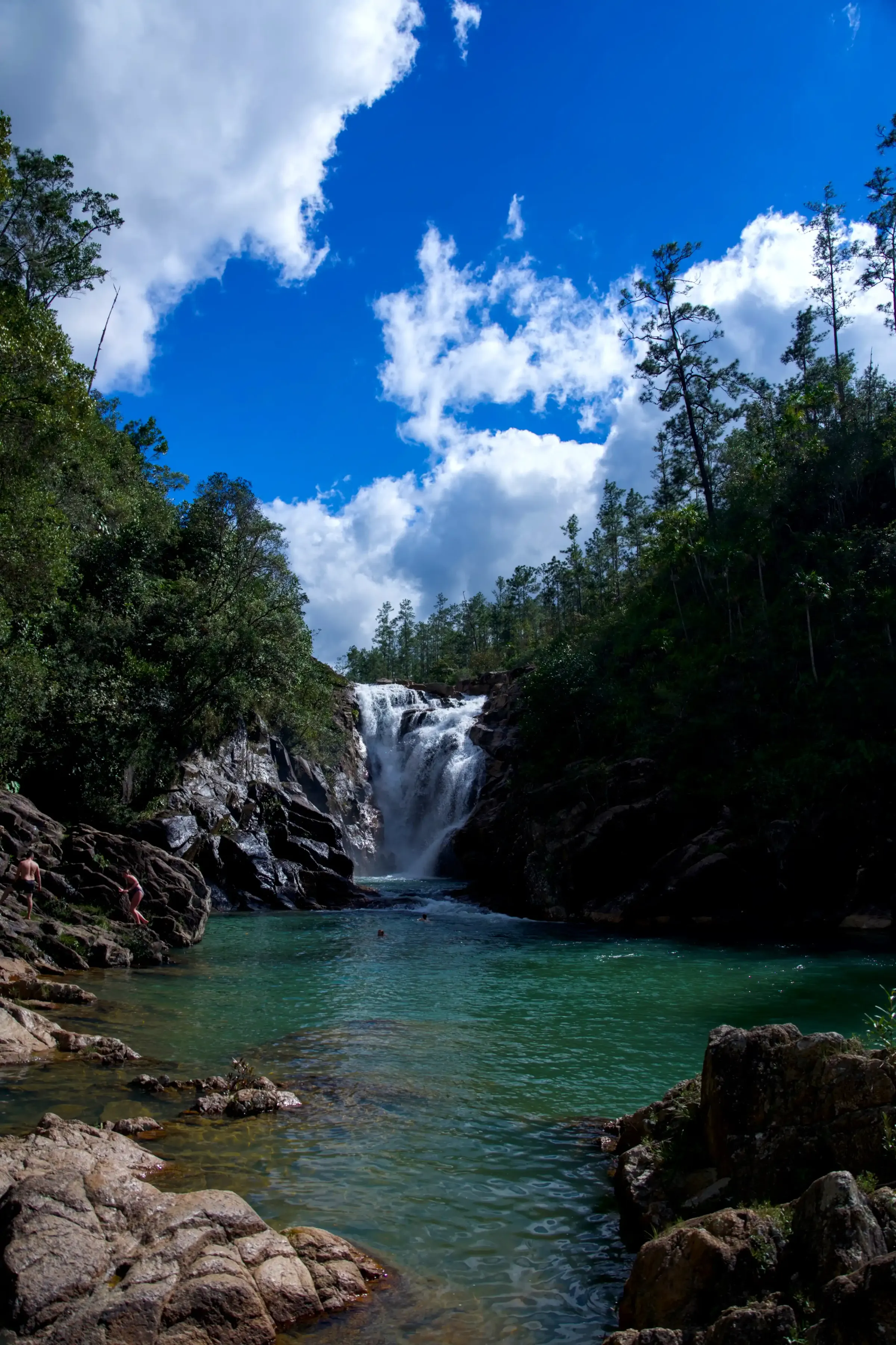
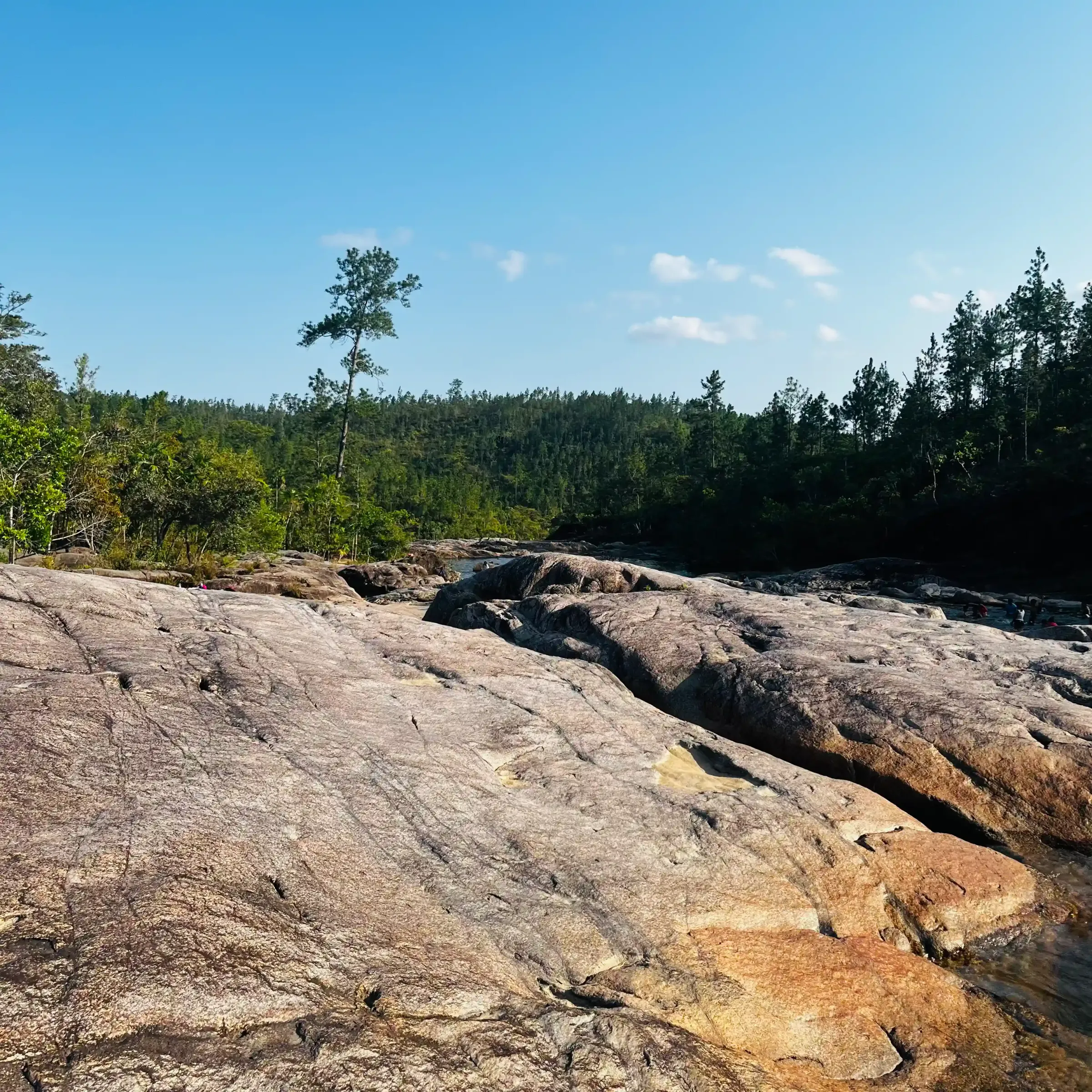
Mountain Pine Ridge Forest Reserve, managed by the Belize Forest Department, is a highland plateau of pine-covered ridges, granite outcrops, and rivers so clear they look like melted glass. Big Rock Falls sits within the reserve and gets a fraction of the traffic that the better-known spots attract.
The drop is around 80 feet, hitting a wide granite shelf before spilling into a deep plunge pool at the base. The surrounding canopy mixes pine and broadleaf, so the light shifts through the afternoon. When the sun breaks through after cloud cover, the water goes luminescent. You can get all the way down to the water's edge and swim in the pool below.
We walked down via the local trail, it's a workout. The descent is steep in sections and the trail isn't groomed. Somewhere along the way there's a handmade wooden sign nailed to a tree: don't poop around, poop in the bush. It's funny. It also tells you everything you need to know about how far this place is from the managed tourism circuit.
The rocks are more dangerous than they look. Green algae coats the stones near the falls and the surrounding area, and the surface is genuinely treacherous. Not just "be careful" slippery. More like "take your time on every single step" slippery. Locals tell the story of a young man who fell from the upper rock face. It's an 80-foot drop onto rock formations below. He survived, and by every account it was a miracle. That story gets told not to scare people off, but to make the point: slow down, pick your footing, don't rush the descent or the rocks near the water's edge.
The road into Mountain Pine Ridge has improved significantly, and the access toward Big Rock Falls is now paved or mostly paved. That makes the drive much easier than it used to be, though the final approach and trail down to the falls can still be steep, wet, and slippery after rain. A standard rental SUV may be fine in dry season, but a high-clearance vehicle is still the safer choice if the weather has been bad.
How to Get to Big Rock Falls
Option 1 — San Miguel Campgrounds: The San Miguel entrance is the easier approach. There are basic amenities including restrooms for a small fee. Good option if you're bringing kids or want a more relaxed visit.
Option 2 — Local trail: Free and open to the public. This is the full hiking experience, more of a workout but worth every step for the approach alone.
Enter Mountain Pine Ridge via the Chiquibul Road junction near Georgeville, or via Cristo Rey Road from San Ignacio. Follow signs toward Augustine/Douglas Silva Forest Station. Big Rock Falls is signed off the main Pine Ridge Road before you reach the station. No entry fee at the falls; there's a small reserve fee at the entrance gate.
View Big Rock Falls on Google Maps
4. Rio On Pools, Mountain Pine Ridge: Nature's Own Water Park
The drive up to Mountain Pine Ridge already signals that you've left ordinary Belize behind. The rainforest gives way to stands of Caribbean Pine, with cooler air, a different light, a different smell. People who've spent time in the lowlands say arriving up here feels like being transported to another country entirely. By the time you reach the Rio On Pools, you're ready to get in the water.
Before you head down to the pools, stop at the overlook area at the top. It's a natural lookout with enough flat space to lay out a picnic. A lot of people eat lunch up there before making the short walk down to the water. It's worth pausing here just to take in the view before the pools pull your attention completely.
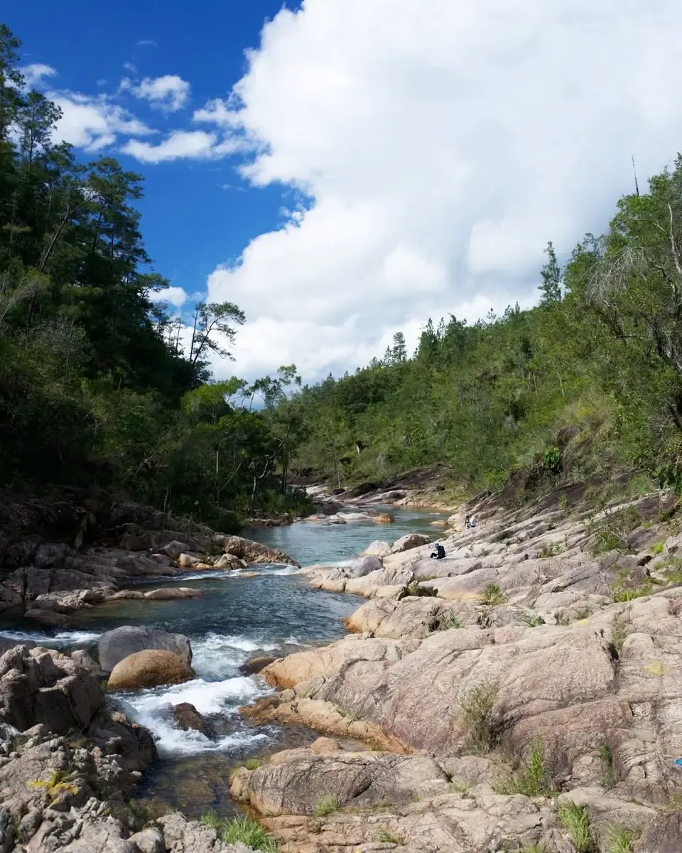
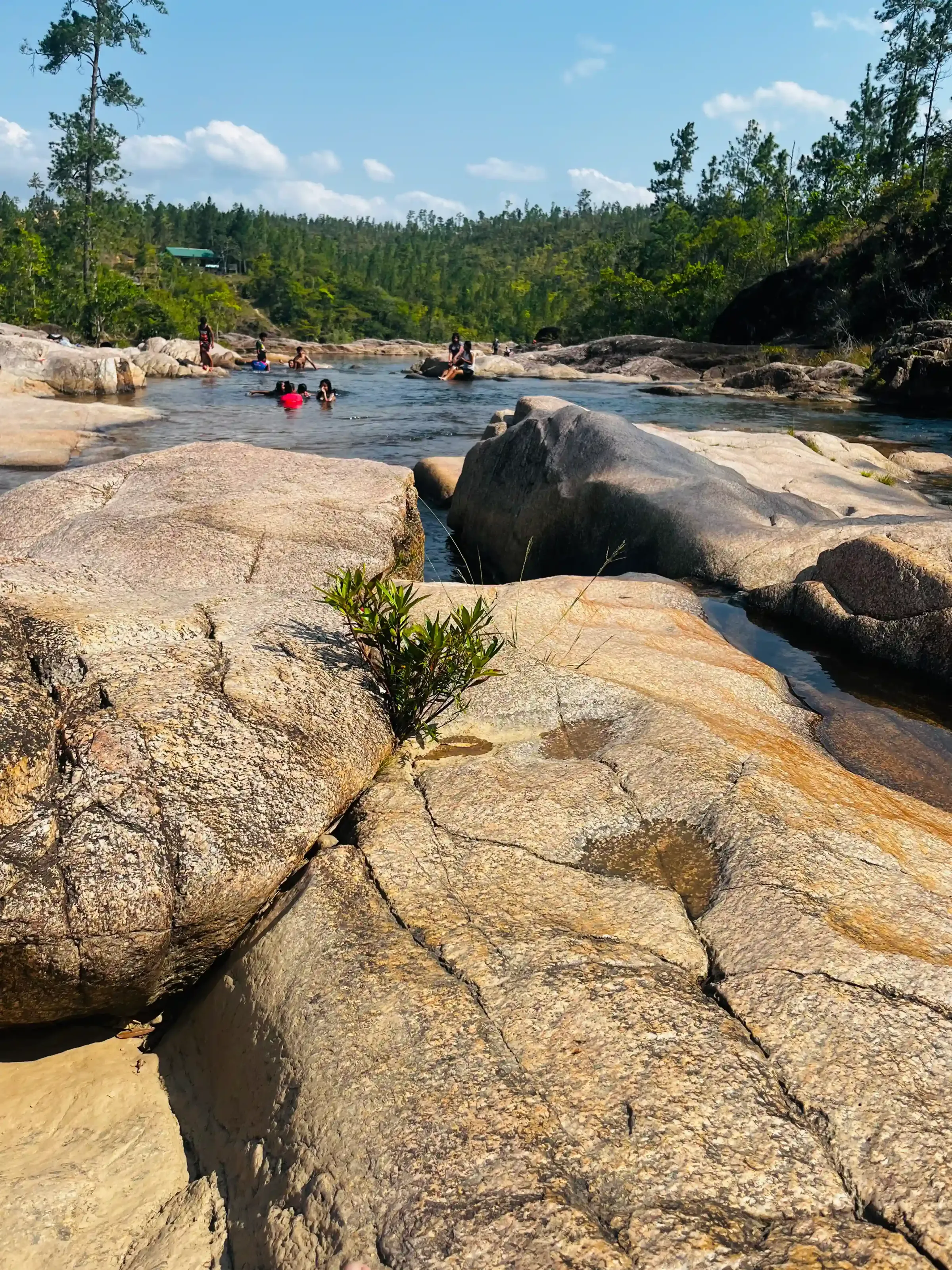
The Rio On River carves through a series of granite boulders, creating a chain of cascading pools connected by natural slides and small drops. The granite is worn smooth by centuries of water, so the slides between pools are gentle enough for kids but fun enough that adults keep going back. Depths vary from ankle-level shallows where toddlers can splash around safely, to deep swimming holes where you actually need to swim. One of the waterfalls has a hollow behind it, you can swim in and stand behind the curtain of water, which is exactly as good as it sounds.
This is genuinely a family place. People who live in Belize bring their friends and kids here repeatedly, it's the kind of spot that earns regulars. Families come with coolers and food and stay for hours, moving between pools, taking turns on the natural slides, letting small children paddle in the shallower sections. It's unhurried in a way that's increasingly rare.
Rainy Season vs. Dry Season
The pools are good year-round. In the wet season the water runs higher, which makes the slides faster and the falls more dramatic. In the dry season the rocks are more exposed and the calmer water is easier for younger swimmers. Both are worth experiencing.
One serious note on safety: the pools look calm but the current can be deceptive. At least one visitor has reported being caught in a current strong enough to pull them toward a drop into sharp rocks below, a near-miss that could have gone badly. Stay aware of where the water is moving, especially after rain. Watch your footing throughout, the rocks are slippery.
The road has improved significantly and is now manageable for most rental vehicles on the main route. That said, the track down from the parking area to the pools still has ruts and uneven sections. Park at the top and walk down rather than trying to drive all the way in.
Tip: Weekdays and early mornings are your best bet. Even for a place this beautiful, you can sometimes arrive and have the whole stretch to yourself, particularly on summer weekday mornings. Weekends in dry season fill up faster. Bring food and drinks; there's nothing to buy out here.
View Rio on Pools on Google Maps
5. Barton Creek Cave: Paddle Into the Maya Underworld
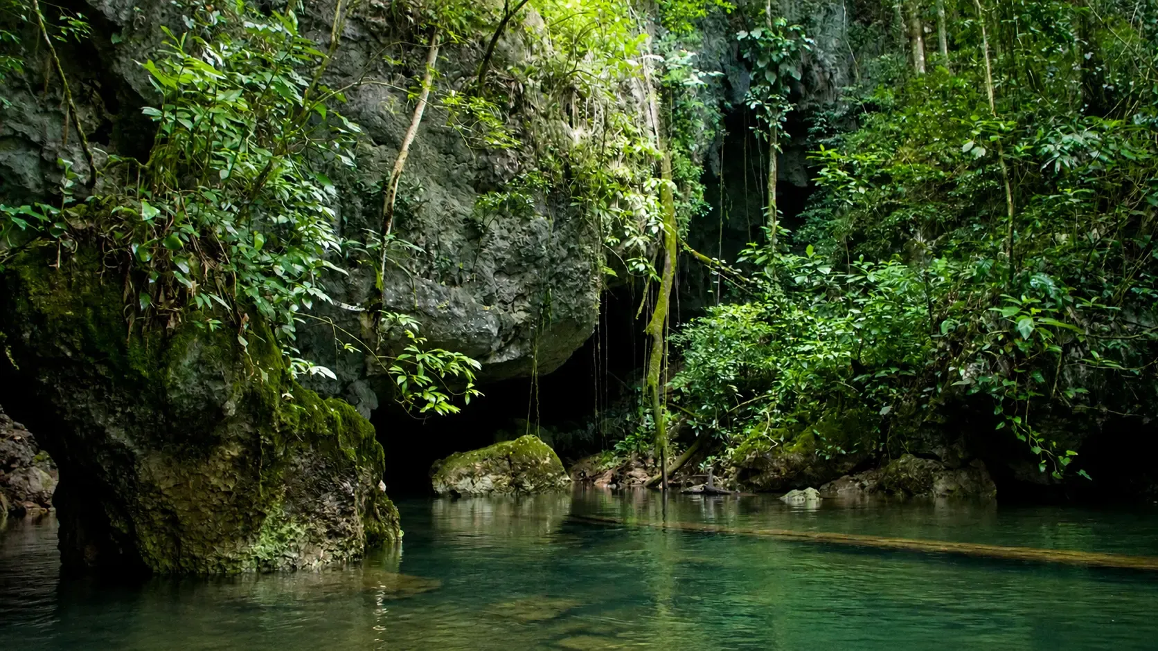
Of the five spots on this list, Barton Creek Cave is the one most likely to leave you genuinely speechless. You get into a canoe, you're handed a life jacket and a flashlight, and you paddle into total darkness.
Don't be surprised if the first thing you notice at the entrance is a large spider on the cave wall. It won't be the last unusual thing you see in there.
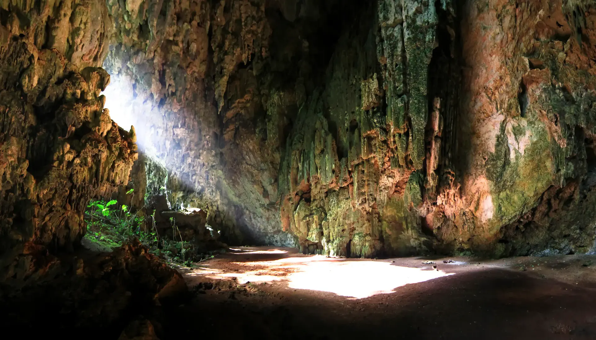
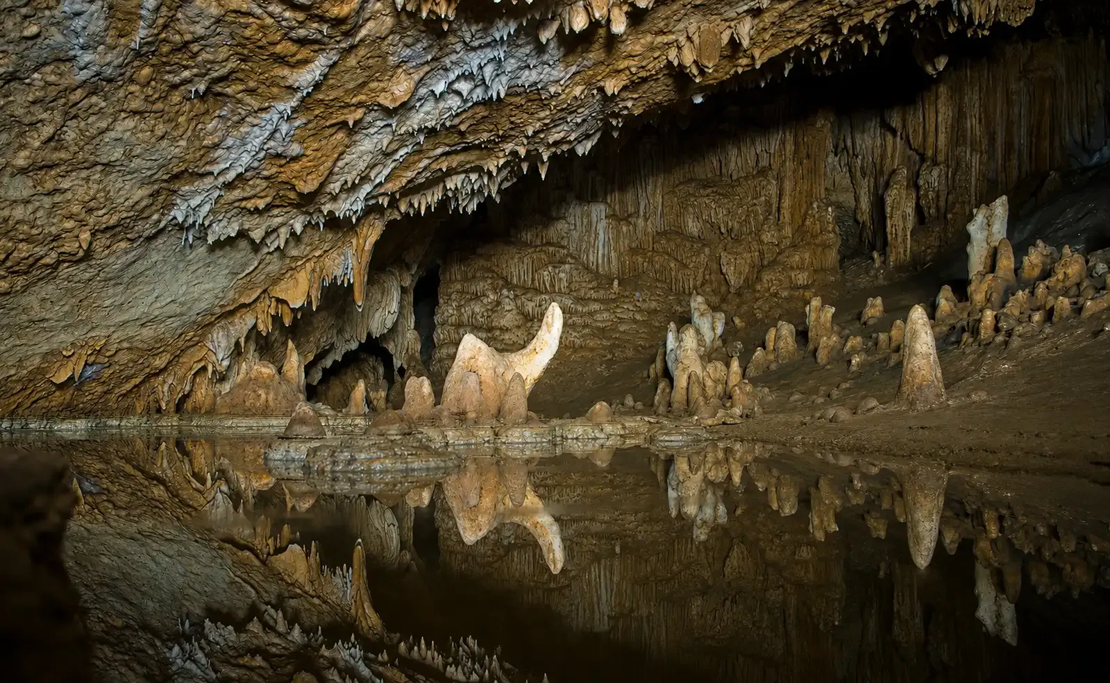
The cave runs for just over four miles into the limestone karst. Tours take you one mile in before the stalactites drop to water level and the passage closes off. In that mile, you pass cathedral ceilings hung with what locals call the "fallen angels," stalactites reaching toward the still water below, growing at roughly one inch per year. The flashlight catches them overhead and again in the mirror surface of the creek beneath you. Water depth through the cave ranges from four to twelve feet. Three species of bats live inside; you'll likely see some cross through the dark beyond your light.
The ancient Maya used Barton Creek Cave from around the early Classic period (A.D. 200–600) through the Late Classic (A.D. 600–900). Pottery found inside shows similarities to ceramics from Guatemala and the Yucatán in Mexico, pointing to use by Maya from across the wider region. According to the National Institute of Culture and History, Belize, natural ledges along cave walls throughout the region served as ceremonial sites where sacrifices were performed, a practice that intensified as the region faced severe drought. Over time those remains fell into the water below and have since been fully excavated. There are no human remains currently in the cave, though the ledges and offerings are still there.
The ancient Maya didn't see caves as empty spaces in rock. They were sacred thresholds, where the living world ended and the realm of gods, ancestors, and origins began. Rain gods were believed to reside in them. Spirits of the dead passed through them. That weight is what drew people from across the region to perform ceremonies in a place like this. Sitting in a canoe in complete darkness, with scorpions on the rock above and bats cutting through the dark beyond your light, that belief stops feeling like ancient history. It feels like the right interpretation of the place. If you want the full effect, ask to cut all the lights for a moment. The silence and the darkness together are something you won't forget.
A few things worth knowing: you can touch the walls, but never the formations. One inch of growth per year means a handprint causes damage that won't recover in a lifetime. Keep your paddle from dragging the bottom and stirring up the sediment. After the cave, there's a swimming area on the river with a rope swing. Bring a change of clothes.
Getting There and Booking
Getting to the cave requires crossing the Barton Creek. The road is rough and the river crossing is not something to attempt without a high-clearance vehicle. Most visitors hire a local guide with the right transport, which is strongly recommended.
Prices run approximately USD $50–100 per person including canoe, guide, and life jacket. Groups are kept small.
Barton Creek Cave isn't widely listed on booking platforms. Ask your hotel or guesthouse in San Ignacio to make the connection, most local operators have direct contacts with cave guides.
View Barton Creek Cave Reserve on Google Maps
Frequently Asked Questions About Cayo District, Belize
Do I need a guide for these spots?
Barton Creek Cave requires a licensed guide, non-negotiable, and worth every dollar. For Monkey Falls and the Santa Familia sinkhole, a local guide who knows the unmarked trails will save significant time and add context no map can offer. Big Rock Falls and Rio On Pools are more accessible independently, especially now that Mountain Pine Ridge roads have improved. Still, road conditions can change quickly after rain, and Rio On Pools has more variable final access, so a high-clearance vehicle is still the safer choice.
When is the best time to visit Cayo District?
Dry season runs December through April and is the easiest time to go. Roads are firm, trails are manageable, and river crossings are straightforward. That said, Cayo's waterfalls and cave are more dramatic in the wet season (June–November) when water levels are higher. If you're comfortable with mud and have a high-clearance vehicle or local guide, the wet season crowds are even thinner than usual.
Do I need a 4WD vehicle for all five locations?
Not for all five, but a high-clearance vehicle is still the safest choice for several of them. Big Rock Falls is now much easier to reach because the Mountain Pine Ridge road has improved significantly. Rio On Pools is more variable, with gravel, dirt, or uneven final access depending on weather and roadwork. For the Santa Familia sinkhole, a 4WD or ATV is strongly recommended. Monkey Falls is easier to reach, though the final trail can be muddy. Barton Creek Cave usually requires rough-road driving and a creek crossing, so most visitors are better off going with a local guide who has the right vehicle.
How far is Cayo District from Belize City?
San Ignacio, the main hub in Cayo District, is approximately 72 miles (116 km) west of Belize City along the Western Highway, roughly a 90-minute drive. All five spots on this list are within another 30–60 minutes of San Ignacio.
Are these spots family-friendly?
Rio On Pools is the most family-friendly of the five, with shallow sections suitable for young children. Monkey Falls and Barton Creek Cave work well for older kids and teenagers. The Santa Familia sinkhole and Big Rock Falls involve rough terrain and significant hikes, better suited to adults or confident older teens.
Cayo is the part of Belize that most visitors fly over to reach the cayes. That's a mistake worth correcting. These five spots require nothing more than a day, a good vehicle or local guide, and the willingness to leave the Western Highway. All are reachable from San Ignacio, and none of them have a waitlist. For local guides who know these back roads, email us at info@belizetravelinsider.com or send us a WhatsApp message/call at +501-606-0817.