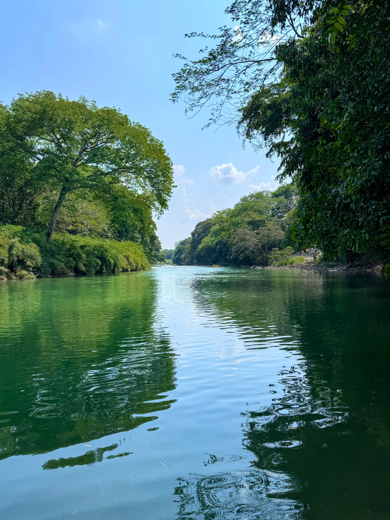
Rio Hondo River
Above normal
Above normal levels
Loading page content.
Loading Planning Guides
Preparing itineraries, logistics, and practical travel tools.
Compiling planning guides and trip resources tailored for Belize.
Stay in the know
Belize
before
everyone else.
Events, hidden gems, seasonal highlights, and local stories, delivered straight to your inbox before they go viral.
Loading page content.
Loading Travel Tips
Compiling essential tips and advice for visiting Belize.
Preparing destination details and local recommendations.
Keep Planning
Belize health & safety, the practical side: tap water, mosquitoes and Zika, vaccines, marine and dive hazards, clinics, and travel insurance for 2026.
How much Belize costs by travel style, with sample budgets for San Ignacio, Caye Caulker, Placencia, San Pedro, transfers, tours, food, and cash planning.
Getting around Belize made simple: water taxi schedules to the cayes, Tropic Air domestic flights, NBC bus timetables, BZE airport transfers, shuttles, and rental cars.
The latest reviewed National Hydrological Service bulletin, translated into practical river conditions for travelers
This bulletin may be outdated; current status is unconfirmed.
It was issued more than 48 hours ago. This is a BTI freshness notice, not an official cancellation or expiry. Check the NHS source for a newer update.
Latest reviewed bulletin
Issued 15 October 2026 at 12:30 · Belize time
The bulletin below reported: Flood alert. This is its historical status, not confirmation of current conditions.
FLOOD ALERT IS IN EFFECT
Published by BTI after review: 15 October 2026 at 15:25
Outlook
24 - 48 HRS
Next update
Friday October 16, 2026, or earlier if conditions warrant.
Last updated on image
Not stated
Above normal
Above normal levels
Mixed conditions
Below normal level to near normal to the coast
| River or lagoon | Condition | Official bulletin wording |
|---|---|---|
| Rio Hondo River | Above normal | Above normal levels |
| New River | Mixed conditions | Below normal level to near normal to the coast |
Below normal
Below normal levels
Below spillways
Below spillways levels
| River or lagoon | Condition | Official bulletin wording |
|---|---|---|
| Mopan River | Below normal | Below normal levels |
| Macal River | Below spillways | Below spillways levels |
Mixed conditions
Above normal to below normal levels including Crooked Tree Lagoon to the coast
Below normal
Below normal levels
Above normal
Above normal levels
Near flood stage
Bank full levels
Near normal
Near normal levels
Below normal
Below normal levels
Above normal
Above normal levels
Above normal
Above normal levels
Below normal
Below normal levels
| River or lagoon | Condition | Official bulletin wording |
|---|---|---|
| Belize River | Mixed conditions | Above normal to below normal levels including Crooked Tree Lagoon to the coast |
| Sibun River | Below normal | Below normal levels |
| Gales Point Lagoon | Above normal | Above normal levels |
| Sittee River | Near flood stage | Bank full levels |
| Monkey and Deep Rivers | Near normal | Near normal levels |
| Rio Grande River | Below normal | Below normal levels |
| Moho River | Above normal | Above normal levels |
| Temash River | Above normal | Above normal levels |
| Other Rivers | Below normal | Below normal levels |
Above normal
Above normal levels
| River or lagoon | Condition | Official bulletin wording |
|---|---|---|
| Sarstoon River | Above normal | Above normal levels |
Official alert status: none → alert.
This transcription is for easier reading and trip planning. The official NHS image remains the authority. Conditions can change after the printed issue time; follow local officials and never enter a flooded road.
29 September 2026
No alert or warning
25 September 2026
No alert or warning
23 September 2026
Flood warning