Loading page content.
Loading Planning Guides
Preparing itineraries, logistics, and practical travel tools.
Compiling planning guides and trip resources tailored for Belize.
Loading page content.
Loading Planning Guides
Preparing itineraries, logistics, and practical travel tools.
Compiling planning guides and trip resources tailored for Belize.
Stay in the know
Belize
before
everyone else.
Events, hidden gems, seasonal highlights, and local stories, delivered straight to your inbox before they go viral.
Loading page content.
Loading Travel Tips
Compiling essential tips and advice for visiting Belize.
Preparing destination details and local recommendations.
Keep Planning
Belize health & safety, the practical side: tap water, mosquitoes and Zika, vaccines, marine and dive hazards, clinics, and travel insurance for 2026.
How much Belize costs by travel style, with sample budgets for San Ignacio, Caye Caulker, Placencia, San Pedro, transfers, tours, food, and cash planning.
Getting around Belize made simple: water taxi schedules to the cayes, Tropic Air domestic flights, NBC bus timetables, BZE airport transfers, shuttles, and rental cars.
Live forecast, seasonal pattern, and where the water stays clean · updated for 2026
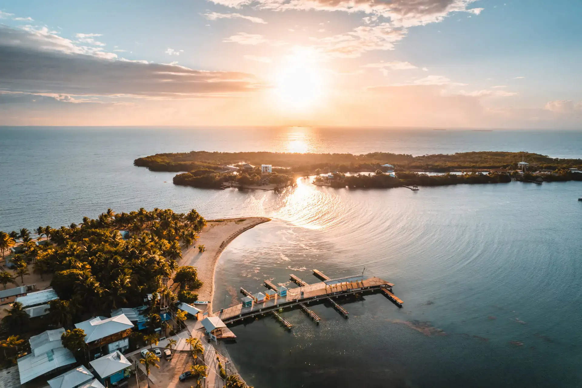
Placencia is a mainland peninsula facing due east, so it's Belize's most week-to-week variable sargassum coast: check the live forecast before a beach-heavy trip in June-August.
Last reviewed August 30, 2026 · Forecast below updates from the Belize National Meteorological Service
Conditions change week to week in season (March-October). The forecast band and satellite map on this page are live: check them the week you travel, not months out.
The full picture
Placencia's sixteen-mile peninsula faces the open Caribbean with no barrier island in front of it, which makes it the Belize base where sargassum conditions swing hardest week to week. In the same July you can find a clean village beach one week and heavy wrack lines the next, depending on wind and current. The village and resorts run cleanup crews in season, and the lagoon side of the peninsula stays clear.
The compensation is what's offshore: Placencia's snorkel and dive day trips (the Silk Cayes, Laughing Bird Caye, and the Gladden Spit whale-shark site) are open-water reef sites unaffected by shoreline seaweed, and they're arguably the best marine day trips in the country. If your dates land in peak months, plan the trip around the boats and treat clean beach days as a bonus.
Where the water stays clean
The peninsula's west side faces away from incoming seaweed
Offshore reef sites: clean water regardless of beach conditions
Off-season, the village beach is consistently clean and wide
Questions travelers ask
Placencia is the most variable sargassum coast in Belize, so a live check matters more here than anywhere: see the forecast band on this page for the Met Service outlook and the satellite map for what's approaching. November-February is reliably clear; June-August varies week to week.
In peak weeks, generally yes: it's a mainland coast facing due east with no leeward side on the beach itself. The cayes have clean fallbacks (The Split, Secret Beach, dock ends); Placencia's fallback is the lagoon side and the offshore cayes day trips.
No. The Silk Cayes, Laughing Bird Caye, and Gladden Spit are offshore reef sites in open water: day trips run normally through the season, and they're the best reason to base in Placencia regardless of beach conditions.
Late November through May: dry season with essentially no sargassum. April-June adds the whale-shark season at Gladden Spit, which is unique to this coast.
Most weeks, most of the swimming water is clean, and the forecast on this page will tell you when it isn't.